Catalog Archive
Auction 207, Lot 487
"L'Empire d'Allemagne Divise par Cercles et en ses Differens Etats, avec les Pays Limitrophes...", Brion de la Tour, Louis
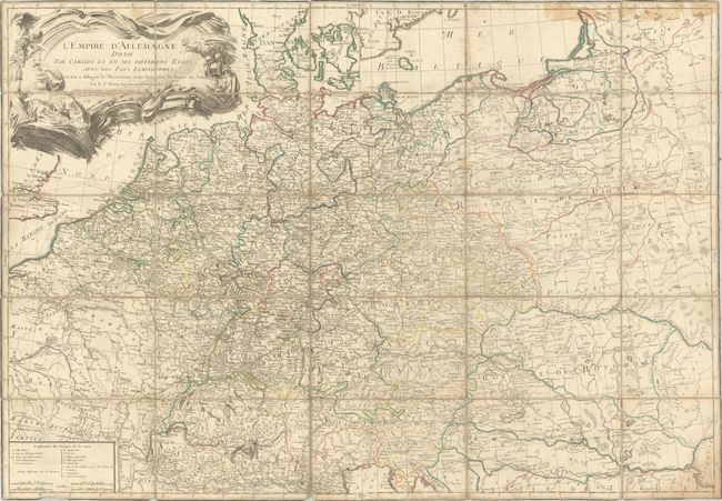
Subject: Central Europe, Germany
Period: 1758 (dated)
Publication:
Color: Hand Color
Size:
41.5 x 28.9 inches
105.4 x 73.4 cm
Download High Resolution Image
(or just click on image to launch the Zoom viewer)
(or just click on image to launch the Zoom viewer)