Catalog Archive
Auction 207, Lot 485
"A General Mapp of the Empire of Germany. With Its Severall Estates. Designed by Monsieur Sanson. Geographer to the French King &c.", Blome, Richard
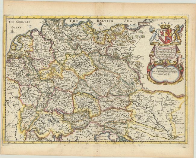
Subject: Central Europe, Germany
Period: 1683 (circa)
Publication: A Geographical Description of the World
Color: Hand Color
Size:
16 x 11.1 inches
40.6 x 28.2 cm
Download High Resolution Image
(or just click on image to launch the Zoom viewer)
(or just click on image to launch the Zoom viewer)