Catalog Archive
Auction 207, Lot 464
"Tabula Delphinatus Vulgo le Gouvernement General du Dauphine in suos Ballifiatus et Regiones Divisus per St. Tillemon", Homann, Johann Baptist
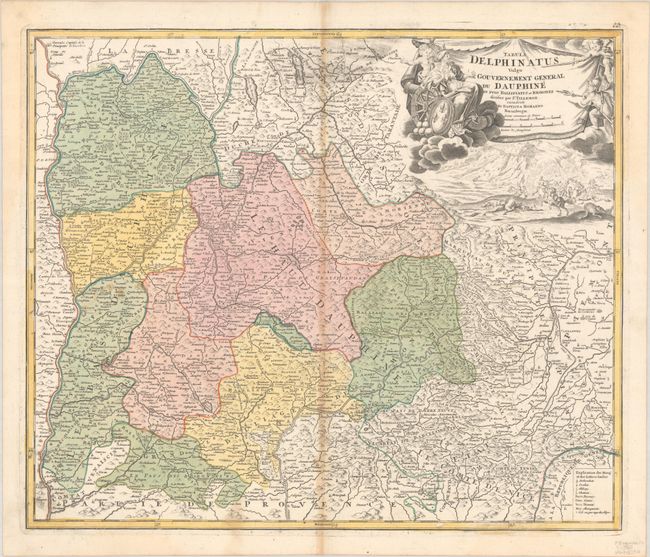
Subject: Southeastern France
Period: 1720 (circa)
Publication:
Color: Hand Color
Size:
22.6 x 19.1 inches
57.4 x 48.5 cm
Download High Resolution Image
(or just click on image to launch the Zoom viewer)
(or just click on image to launch the Zoom viewer)