Catalog Archive
Auction 207, Lot 463
"Dioecesis Sarlatensis, Vernacule le Dioecese de Sarlat...", Blaeu, Willem
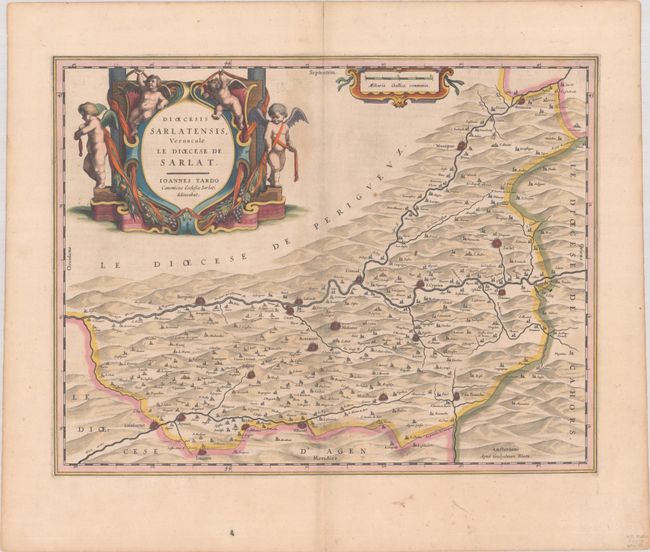
Subject: Southwestern France
Period: 1635 (circa)
Publication: Theatre du Monde ou Nouvel Atlas
Color: Hand Color
Size:
19.5 x 15 inches
49.5 x 38.1 cm
Download High Resolution Image
(or just click on image to launch the Zoom viewer)
(or just click on image to launch the Zoom viewer)