Catalog Archive
Auction 207, Lot 453
"Comitatuum Boloniae et Guines Descriptio", Blaeu, Willem
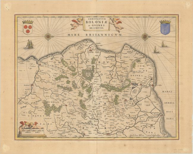
Subject: Western France
Period: 1662 (circa)
Publication: Atlas Maior
Color: Hand Color
Size:
19.6 x 15 inches
49.8 x 38.1 cm
Download High Resolution Image
(or just click on image to launch the Zoom viewer)
(or just click on image to launch the Zoom viewer)