Catalog Archive
Auction 207, Lot 448
"Perchensis Comitatus - La Perche Comte [on sheet with] Comitatus Blesensis, Auctore Ioanne Temporio - Blaisois", Blaeu, Willem
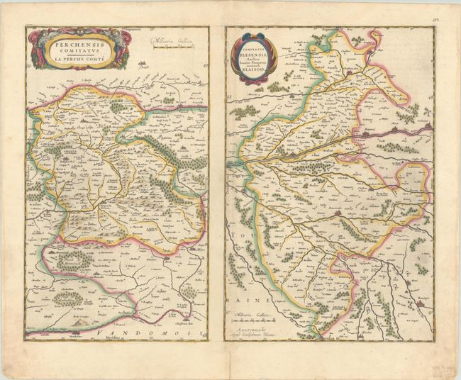
Subject: Northern France
Period: 1634 (circa)
Publication: Novus Atlas
Color: Hand Color
Size:
19.8 x 15.3 inches
50.3 x 38.9 cm
Download High Resolution Image
(or just click on image to launch the Zoom viewer)
(or just click on image to launch the Zoom viewer)