Catalog Archive
Auction 207, Lot 447
NO RESERVE - France After the Treaty of Amiens
"A New Map of France Divided into One Hundred & Two Departments to the Treaty of Peace in 1802", Laurie & Whittle
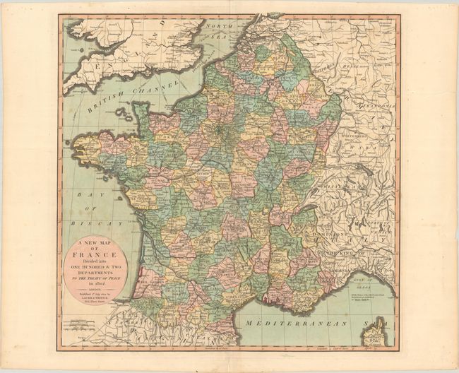
Subject: France
Period: 1802 (dated)
Publication:
Color: Hand Color
Size:
22 x 21.6 inches
55.9 x 54.9 cm
Download High Resolution Image
(or just click on image to launch the Zoom viewer)
(or just click on image to launch the Zoom viewer)