Catalog Archive
Auction 207, Lot 446
"Galliae Regnum in Omnes suas Provincias Accurate Divisum / La France Dressee sur un Grand Nombre de Cartes Particuliteres...", Delisle/Elwe
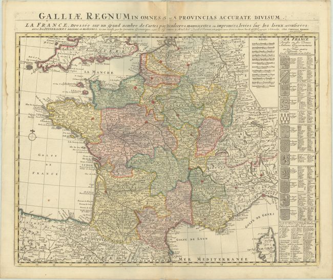
Subject: France
Period: 1792 (published)
Publication:
Color: Hand Color
Size:
22.9 x 17.6 inches
58.2 x 44.7 cm
Download High Resolution Image
(or just click on image to launch the Zoom viewer)
(or just click on image to launch the Zoom viewer)