Catalog Archive
Auction 207, Lot 444
"Flandriae Pars Occidentalis", Hondius, Henricus
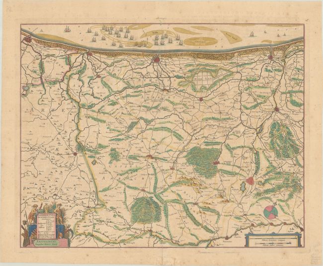
Subject: Northern France & Western Belgium
Period: 1639 (circa)
Publication: Nouveau Theatre du Monde
Color: Hand Color
Size:
19.1 x 15.1 inches
48.5 x 38.4 cm
Download High Resolution Image
(or just click on image to launch the Zoom viewer)
(or just click on image to launch the Zoom viewer)