Catalog Archive
Auction 207, Lot 441
"Les XVII Provinces des Pays-Bas Divisees en Provinces Unies Connues sous le Nom de Hollande, et en Pays Bas Catholiques Connues sous le Nom de Flandre...", Chiquet, Jacques
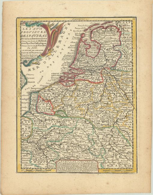
Subject: Low Countries
Period: 1719 (dated)
Publication: Le Nouveau et Curieux Atlas Geographique et Historique
Color: Hand Color
Size:
6.6 x 8.5 inches
16.8 x 21.6 cm
Download High Resolution Image
(or just click on image to launch the Zoom viewer)
(or just click on image to launch the Zoom viewer)