Catalog Archive
Auction 207, Lot 436
"Comitatus Flandriae in Omnes Ejusdem Subjacentes Ditioes cum Adjacentibus Accuratissime Divisus...", Homann, Johann Baptist
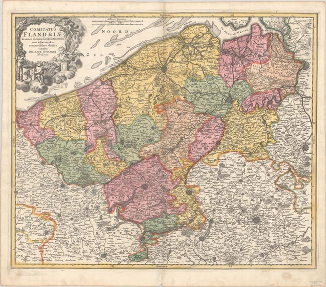
Subject: Western Belgium
Period: 1715 (circa)
Publication:
Color: Hand Color
Size:
22.5 x 18.9 inches
57.2 x 48 cm
Download High Resolution Image
(or just click on image to launch the Zoom viewer)
(or just click on image to launch the Zoom viewer)