Catalog Archive
Auction 207, Lot 42
"This Draught of the North Pole Is to Shew All the Countries Near and Adjacent to It, as Also the Most Remarkable Tracks of the Bold Discoverers of Them...", Moll, Herman
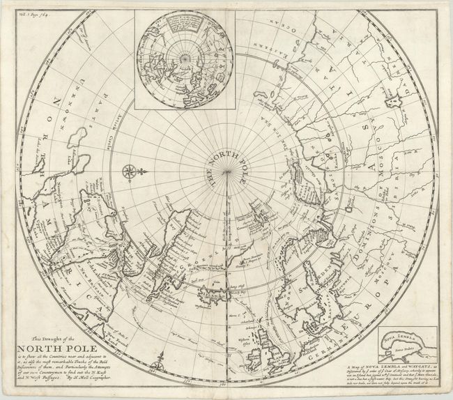
Subject: North Pole
Period: 1705 (circa)
Publication: Navigantum ataque Itinerantium Bibliotheca...
Color: Black & White
Size:
16.6 x 14.8 inches
42.2 x 37.6 cm
Download High Resolution Image
(or just click on image to launch the Zoom viewer)
(or just click on image to launch the Zoom viewer)