Catalog Archive
Auction 207, Lot 415
"Le Nord de l'Europe Contenant le Danemark la Norwege la Suede et la Laponie avec la Majeure Partie de la Russie Europeenne", Bonne, Rigobert
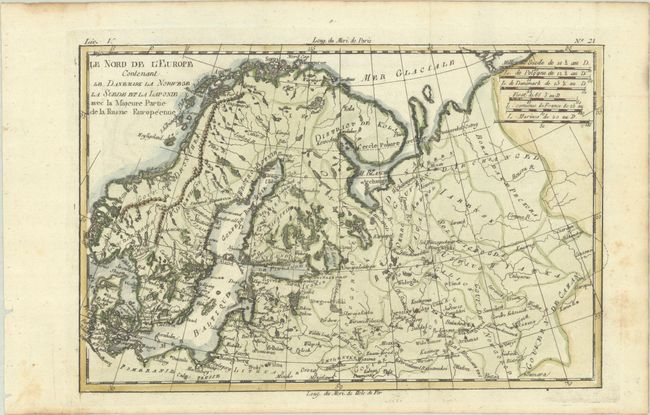
Subject: Northern Europe
Period: 1780 (circa)
Publication: Atlas de Toutes les Parties Connues du Globe Terrestre
Color: Hand Color
Size:
12.6 x 8.3 inches
32 x 21.1 cm
Download High Resolution Image
(or just click on image to launch the Zoom viewer)
(or just click on image to launch the Zoom viewer)