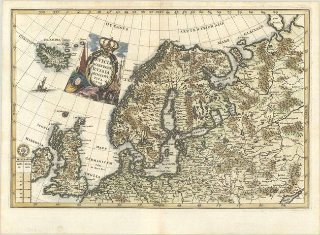
Subject: Northern Europe
Period: 1699 (dated)
Publication: Atlas Novus
Color: Hand Color
Size:
13.9 x 9.3 inches
35.3 x 23.6 cm
This handsome map covers the region from the British Isles and Iceland through Scandinavia, the Baltic, and the European parts of Russia. It is adorned with a lovely title cartouche, a sailing ship, and a scales cartouche topped with the symbol of the Jesuits. Heinrich Scherer, professor of mathematics at Munich, was a devout Jesuit whose work emphasized the Catholic hierarchy and the spread of Jesuit missions throughout the world. Dated 1699 but published in 1703.
References: Shirley (BL Atlases) T.SHER-1a #79.
Condition: A
A sharp impression on a bright sheet with a hint of offsetting.