Catalog Archive
Auction 207, Lot 411
"Scotia Regnum Divisum in Partem Septentrionalem et Meridionalem Subdivisas in Comitatus, Vicecomitatus Provincias Praefecturas Dominia et Insulas", Wit, Frederick de
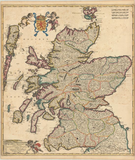
Subject: Scotland
Period: 1682 (circa)
Publication:
Color: Hand Color
Size:
20.1 x 22.7 inches
51.1 x 57.7 cm
Download High Resolution Image
(or just click on image to launch the Zoom viewer)
(or just click on image to launch the Zoom viewer)