Catalog Archive
Auction 207, Lot 401
"Lincolniae Comitatus ubi olim Insederunt Coritani", Saxton/Kip
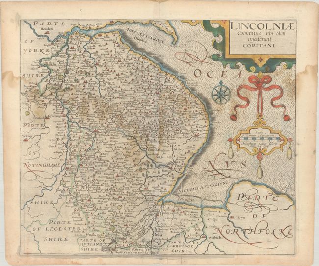
Subject: Eastern England
Period: 1610 (published)
Publication: Camden's Britannia
Color: Hand Color
Size:
13.9 x 11.9 inches
35.3 x 30.2 cm
Download High Resolution Image
(or just click on image to launch the Zoom viewer)
(or just click on image to launch the Zoom viewer)