Catalog Archive
Auction 207, Lot 40
"Nouvelle Carte des Parties Orientales du Monde Servant a Indiquer les Navigations, Decouvertes et Etablissemens des Hollandois dans les Indes Orientales, Suivant les Dernieres Observations", Philippe De Pretot, Etienne Andre
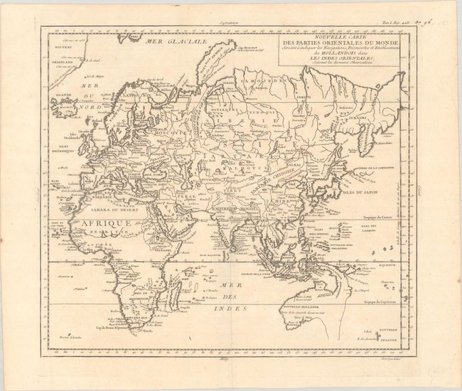
Subject: Eastern Hemisphere
Period: 1787 (published)
Publication: Atlas Universel...
Color: Black & White
Size:
14.2 x 12.5 inches
36.1 x 31.8 cm
Download High Resolution Image
(or just click on image to launch the Zoom viewer)
(or just click on image to launch the Zoom viewer)