Catalog Archive
Auction 207, Lot 399
"Worcester Shire", Moll, Herman
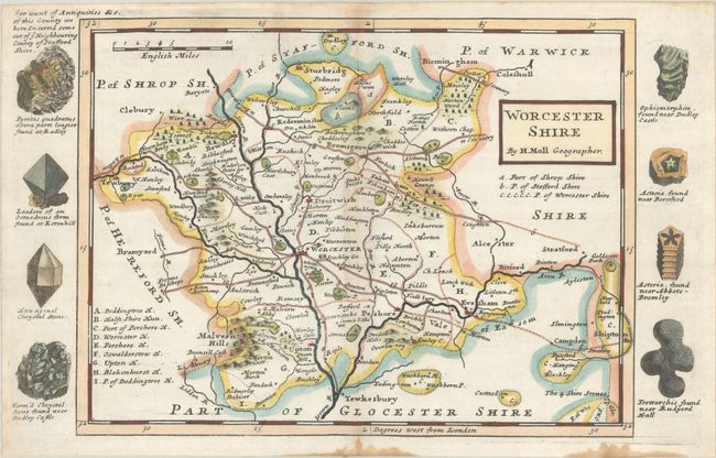
Subject: Western England
Period: 1730 (circa)
Publication: A Set of Fifty New and Correct Maps of England and Wales, &c.
Color: Hand Color
Size:
12.4 x 7.7 inches
31.5 x 19.6 cm
Download High Resolution Image
(or just click on image to launch the Zoom viewer)
(or just click on image to launch the Zoom viewer)