Catalog Archive
Auction 207, Lot 390
"Europe, Composee par G. de l'Isle et Corriggee Selon le plus Nouvelle Observations", Delisle/Elwe
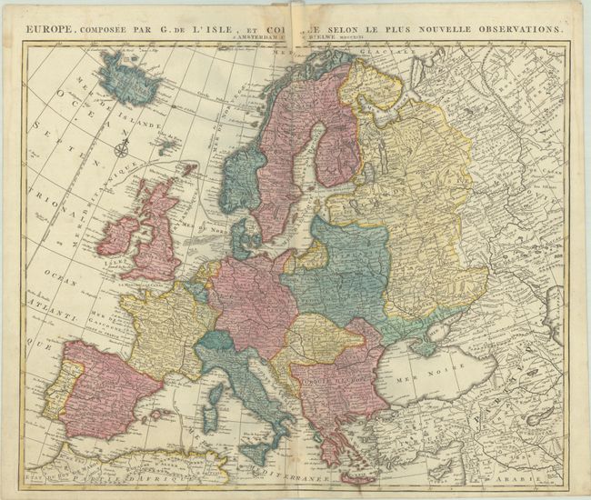
Subject: Europe
Period: 1792 (dated)
Publication:
Color: Hand Color
Size:
23.3 x 19.1 inches
59.2 x 48.5 cm
Download High Resolution Image
(or just click on image to launch the Zoom viewer)
(or just click on image to launch the Zoom viewer)