Catalog Archive
Auction 207, Lot 39
Map Showing Atlantis and Thule
"Descriptio Orbis", Anon.
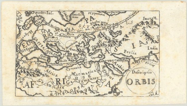
Subject: Ancient World
Period: 1700 (circa)
Publication:
Color: Black & White
Size:
5.1 x 3.1 inches
13 x 7.9 cm
Download High Resolution Image
(or just click on image to launch the Zoom viewer)
(or just click on image to launch the Zoom viewer)