Catalog Archive
Auction 207, Lot 379
"Le Isole Canarie Delineate sulle Ultime Osservazioni", Cassini, Giovanni Maria
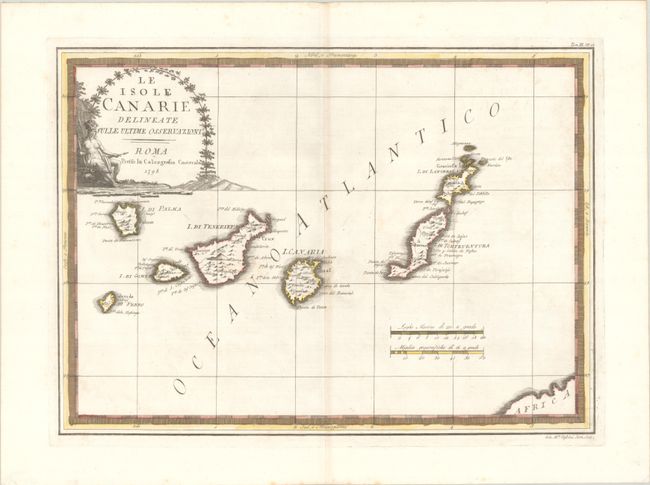
Subject: Canary Islands
Period: 1798 (dated)
Publication: Nuovo Atlante Geografico Universale
Color: Hand Color
Size:
19.3 x 13.9 inches
49 x 35.3 cm
Download High Resolution Image
(or just click on image to launch the Zoom viewer)
(or just click on image to launch the Zoom viewer)