Catalog Archive
Auction 207, Lot 378
"Carte Reduite des Iles Acores Dressee par Ordre du Ministre de la Marine pour le Service des Vaisseaux Francais, d'Apres les Observations Faites par M. de Fleurieu, en 1769...", Depot de la Marine
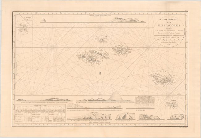
Subject: Azores
Period: 1791 (dated)
Publication:
Color: Black & White
Size:
33.3 x 21.8 inches
84.6 x 55.4 cm
Download High Resolution Image
(or just click on image to launch the Zoom viewer)
(or just click on image to launch the Zoom viewer)