Catalog Archive
Auction 207, Lot 34
"Dated Events World War Map", Turner, Stanley
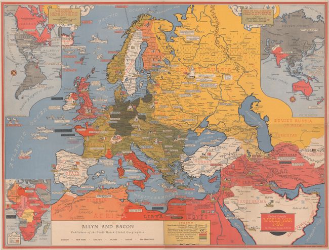
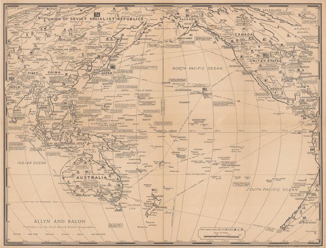
Subject: World, World War II
Period: 1944 (circa)
Publication:
Color: Printed Color
Size:
26.3 x 19.9 inches
66.8 x 50.5 cm
Download High Resolution Image
(or just click on image to launch the Zoom viewer)
(or just click on image to launch the Zoom viewer)