Subject: Oklahoma City, Oklahoma
Period: 1940 (circa)
Publication:
Color: Printed Color
Size:
16.7 x 23.1 inches
42.4 x 58.7 cm
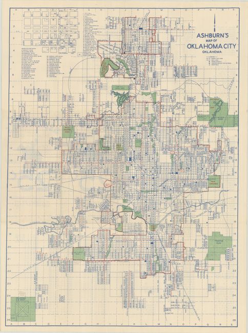
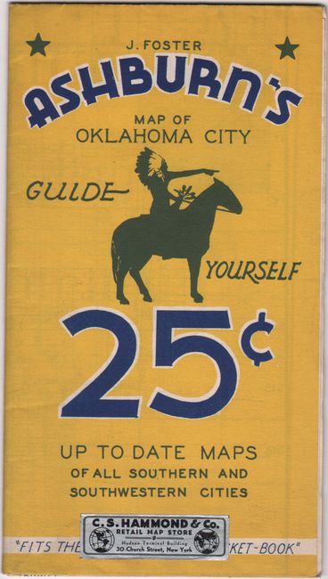
This detailed and early street map of Oklahoma City was published by J. Foster Ashburn. It extends from "Oklahoma Airport" north to beyond the Oklahoma City Golf & Country Club and east to Lincoln Park. Areas shaded in green indicate parks, cemeteries, and other open spaces while a legend at top right identifies street cars, bus lines, schools and hospitals. An inset of the downtown area at top left locates and lists 59 points of interest including buildings, hotels, businesses, and more. The verso contains a street index. Self-folding with an illustration of a mounted Native American on both front and back. Circa date is based upon the airport, which was renamed to Will Rogers International Airport in 1941. The city's population at the time was approximately 220,000. We found no other sales records for this map and only four institutional examples on OCLC.
Ashburn was based out of Fort Worth and mostly produced maps of cities in Texas and the South. Unlike most mapmakers of the period, Ashburn was “vertically integrated,” handling all the production work in house, including printing.
References:
Condition: A
Issued folding on a clean bright sheet with a few neat pencil notations in the image.