Subject: North Dakota
Period: 1909 (dated)
Publication:
Color: Printed Color
Size:
19 x 12.6 inches
48.3 x 32 cm
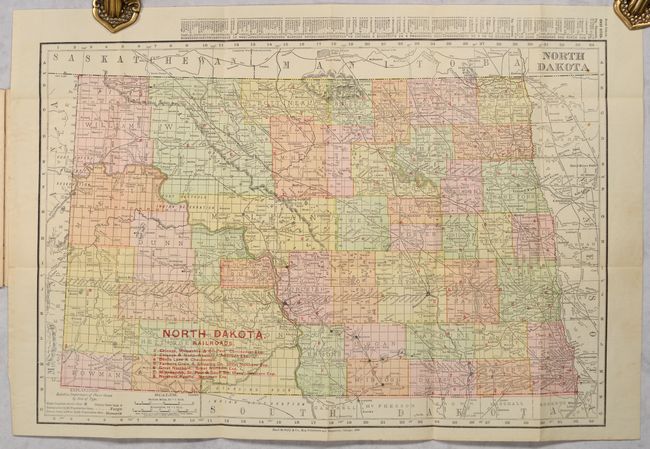
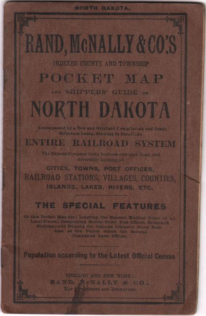
An attractive pocket map issued 20 years after statehood. County configurations are current to 1908 and prior to the creation of Mountrail County in 1909. The various railroads in the state are numbered in red overprinting which correspond to a table at lower left naming 7 railroads including the Chicago, Milwaukee & St. Paul, Great Northern, and Northern Pacific. Drawn on a scale of 21 miles per inch. Includes a 19-page index and several pages of advertisements. Folds into brown paper wrappers entitled "Rand, McNally & Co.'s Indexed County and Township Pocket Map and Shippers' Guide of North Dakota."
References:
Condition: B+
There are some minor pencil notations and a few small spots in the image. Text has a tiny edge tear along the right edge throughout. Covers are lightly worn with a small stain at the bottom of the front cover.