Subject: Hudson River, New York
Period: 1876 (dated)
Publication:
Color: Hand Color
Size:
6 x 33.3 inches
15.2 x 84.6 cm
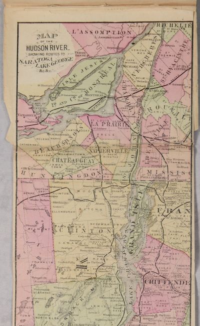
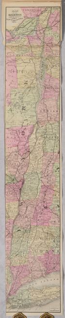
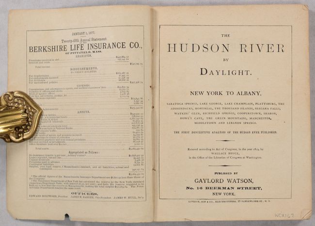
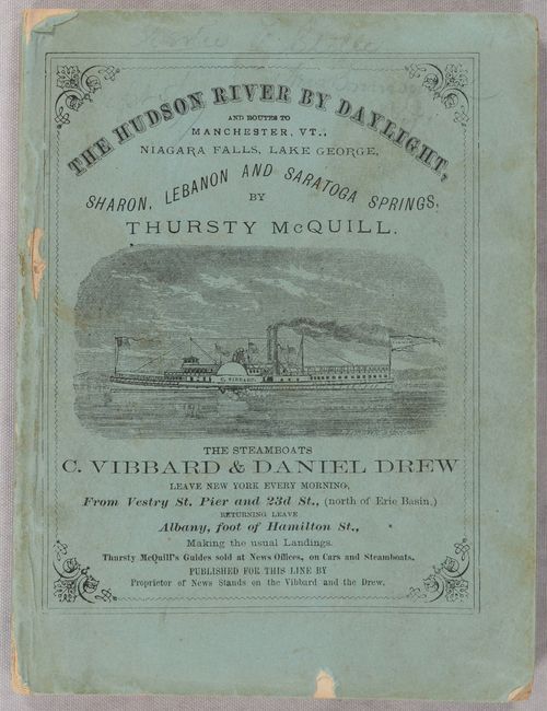
This small strip map extends from New York City to Albany and Montreal including the course of the Hudson River, Lake George, Lake Champlain, and the St. Lawrence River. Along these waterways, roads and railroads are identified along with county boundaries and numerous place names. The map is attached to the rear of the The Hudson River by Daylight guide published by Gaylord Watson (after Wallace Bruce). 169 pages with numerous advertisements. Paper covers feature the steamboats C. Vibbard & Daniel Drew, which made daily trips between New York and Albany.
References:
Condition: B+
The folding map is clean and colorful with a few small tears and separations along the top fold that have been archivally repaired on verso with a minute amount of loss along the top right edge. The map was trimmed to the left border by the binder. Text is clean. Covers have light soiling and some small chips.