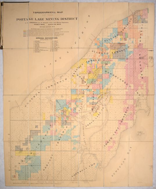
Subject: Northern Michigan
Period: 1890 (dated)
Publication:
Color: Hand Color
Size:
28.3 x 36 inches
71.9 x 91.4 cm
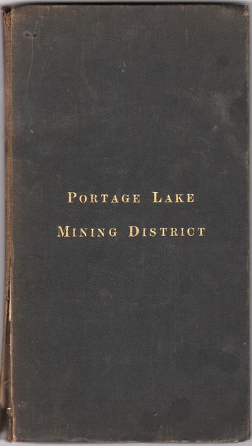
This large pocket map by L.G. Emerson and C.E. Bailey depicts the copper-rich mining region of the Keweenaw Peninsula, centered on Portage Lake and Torch Lake. The map is color-coded to show the various mining properties in the region including Calumet, Quincy, Tamarack, Canal, Osceola, Centennial, Laureum, and many more. A secondary lettered key identifies 27 different land owners including Atlantic Mining Company, Franklin Mine, Hulbert Mining Company, and many more. In addition to the mining activity, the map presents roads, a single railroad, and the street-grids of Houghton, Hancock, Lake Linden, Calumet, and more. First published in 1888, this is the revised 1890 edition. Folds into brown cloth boards with gilt title on the front cover.
The Keweenaw Peninsula was home to the first copper boom in the United States in the 1840s, and quickly became the nation's leading copper producer for decades. The last of the copper mines closed in the 1960s.
References:
Condition: B
Dissected and backed with linen. There is light toning, some dampstaining along the fold lines, and a bit of soiling at upper right. Covers are lightly worn and soiled and the front cover is starting.