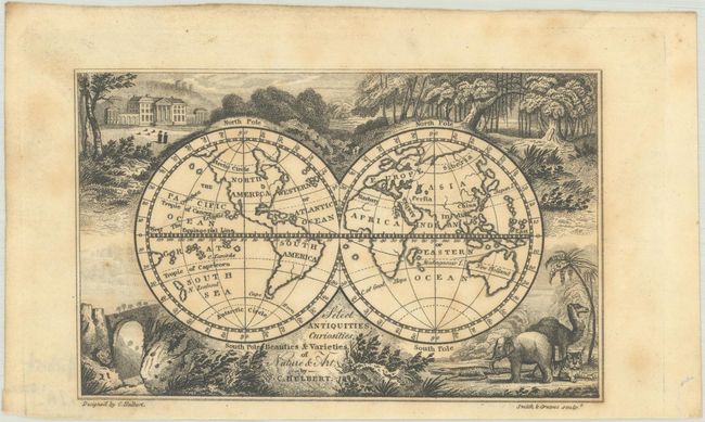
Subject: World
Period: 1822 (published)
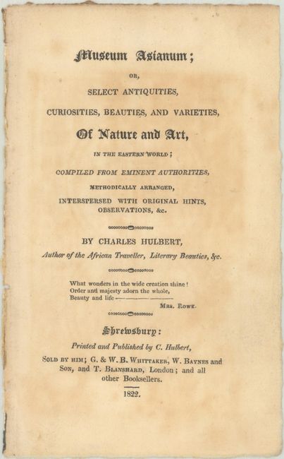
Publication: Museum Asianum
Color: Black & White
Size:
4.8 x 3 inches
12.2 x 7.6 cm
This charming miniature map was designed by Charles Hulbert for his Museum Asianum. The double-hemisphere map is based on John Gibson's map from 1792, but with a newly conceived decorative surround that features vignettes of a large mansion, a forest, African animals, and a natural bridge. While the map is cartographically similar to Gibson's map, it has been updated to show completed coastlines for the northwest coast of North America, New Zealand, and Australia. Curiously, Australia is shown connected to Tasmania despite the Bass Strait having been discovered in 1798-99. Engraved by Smith and Greaves. This example is accompanied by the original title page.
References: King (3rd ed.) #1780.
Condition: B+
Light toning and foxing.