Catalog Archive
Auction 207, Lot 255
"[5 Maps] Aloha and Cordial Greetings from Hawaii U.S.A. [with] In the Territory of Hawaii U.S.A. [and] Island of Hawaii [and] Island of Maui [and] Island of Oahu [and] Island of Kauai", White, Ruth Taylor
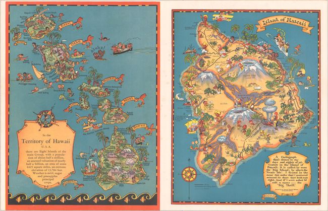
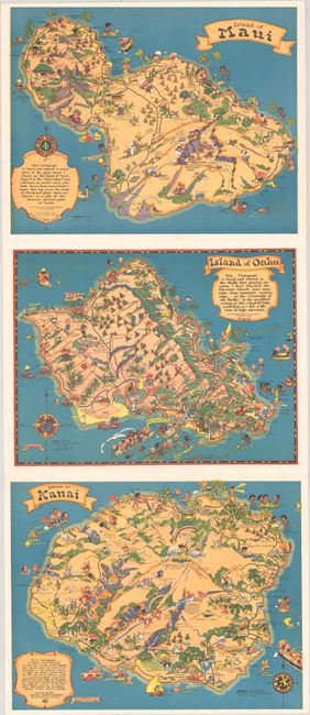
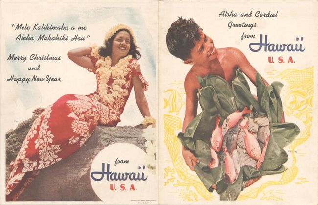
Subject: Hawaii
Period: 1942 (dated)
Publication:
Color: Printed Color
Size:
8.4 x 11.3 inches
21.3 x 28.7 cm
Download High Resolution Image
(or just click on image to launch the Zoom viewer)
(or just click on image to launch the Zoom viewer)