Catalog Archive
Auction 207, Lot 245

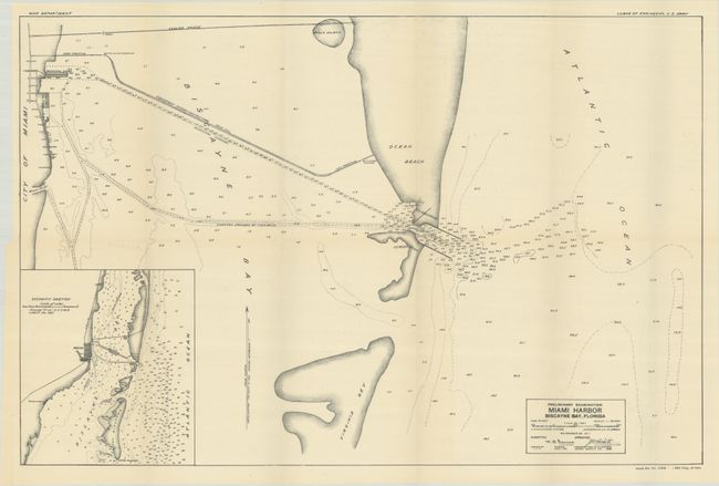
Early Unrecorded Map of Miami Harbor

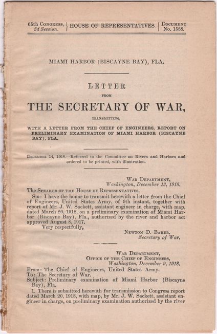
"[Map with Report] Preliminary Examination Miami Harbor Biscayne Bay, Florida [with] Miami Harbor (Biscayne Bay), Fla. Letter from the Secretary of War, Transmitting … Report on Preliminary Examination of Miami Harbor...", U.S. Corps of Engineers

Subject: Miami, Florida

Period: 1918 (published)

Publication:

Color: Black & White

Size:
23.8 x 15.7 inches
60.5 x 39.9 cm
Download High Resolution Image
(or just click on image to launch the Zoom viewer)

This map illustrates Miami, Ocean Beach, and a causeway under construction that would allow larger boats to dock in Miami. Ocean Beach, originally an uninhabited sandbar, was the initial name of Miami Beach. Bulls Island, now Fisher Island, is also shown. Includes a large inset or "Vicinity Sketch" at lower left that reveals the shallow nature of Biscayne Bay. The map is accompanied by the complete 26-page disbound report, which concluded that no further work on the harbor was justified despite the city’s investment in a modern terminal. The text of a Congressional hearing is included with testimonials promoting the potential of Miami, at the time with a population of 28,000, and the need for further harbor development.

References:

Condition: A

Condition code is for the folding map, which is clean and bright. Disbound text has a hint of toning with the first and last pages detached.

Estimate: $140 - $170

Sold for: $130

Closed on 2/11/2026

Archived