Subject: Colorado
Period: 1930 (circa)
Publication:
Color: Printed Color
Size:
19.2 x 13.1 inches
48.8 x 33.3 cm
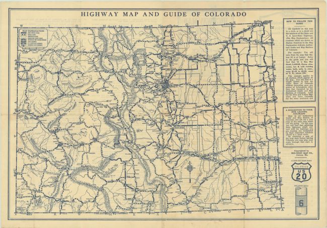
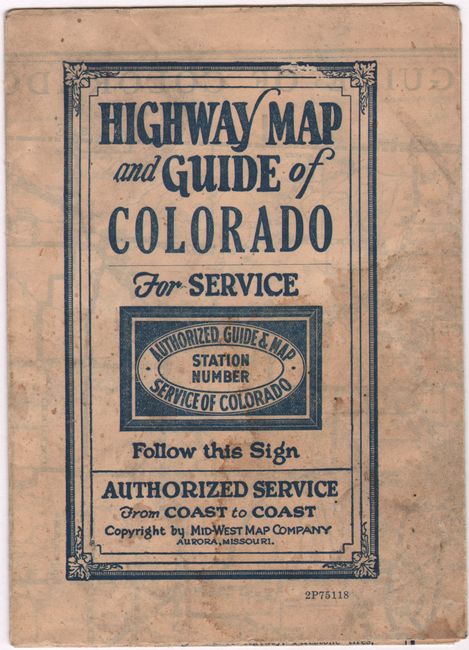
Published by the Mid-West Map Company of Aurora, Missouri, this "authorized guide and map" of Colorado provides a detailed overview of the state's highway system. The types of roads are identified via a legend at top left. At right are instructions for how to use the map and emblems showing the markers for U.S. interstate highways and the state highways. The Authorized Guide and Map Service was set up by the Mid-West Map Company as a way to provide free and reliable maps to motorists and tourists all across the nation. Travelers could pick up these maps at designated stations, which are listed on the verso of the map along with their various amenities. According to the text on verso, "In selecting the firms with whom the Service has been placed, their ability to render the tourist courteous, honey and intelligent service was the first and the absolutely necessary requirement." 38 of these maps were issued in the 1930s, covering the full breadth of the United States.
References:
Condition: B+
Issued folding with light soiling, a few small stains, and some small areas of paper weakness with associated holes.