Catalog Archive
Auction 207, Lot 222

"Department of the Interior Administrative Map - California Sequoia and General Grant National Parks ", U.S. Department of Interior

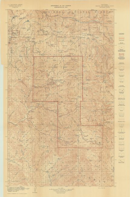
Subject: Sequoia National Park, California

Period: 1910 (dated)

Publication:

Color: Printed Color

Size:
14.8 x 23.5 inches
37.6 x 59.7 cm
Download High Resolution Image
(or just click on image to launch the Zoom viewer)

This intricate map shows Sequoia National Park, the nation's second national park, established in 1890, and General Grant National Park (now Kings Canyon National Park). Contour lines are in brown with park boundaries in red. The legend canals and ditches, springs, roads and buildings, churches and school houses, trails, railroads, telephone lines, bridges, reservation lines, triangulation stations, bench marks, and more. Surveyed in 1902-03; geographers and topographers are credited at bottom left.

References:

Condition: B+

Issued folding on a lightly toned sheet.

Estimate: $110 - $140

Sold for: $80

Closed on 2/11/2026

Archived