Catalog Archive
Auction 207, Lot 214
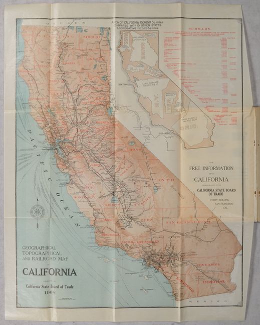
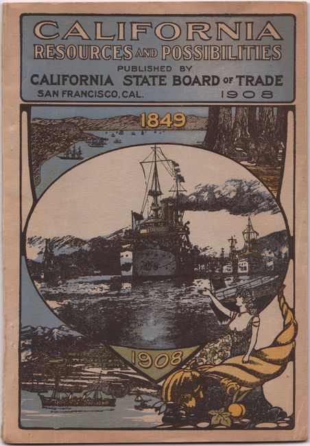
"[Map in Report] Geographical Topographical and Railroad Map of California [in] California Resources and Possibilites - Eighteenth Annual Report of the California State Board of Trade for the Year 1907", California State Board of Trade
Subject: California
Period: 1908 (published)
Publication:
Color: Printed Color
Size:
20 x 25.5 inches
50.8 x 64.8 cm
Download High Resolution Image
(or just click on image to launch the Zoom viewer)
(or just click on image to launch the Zoom viewer)