Subject: Southern United States
Period: 1900 (published)
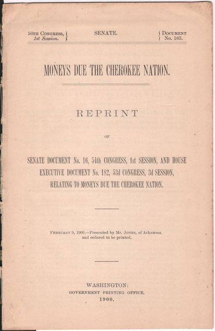
Publication: Sen. Doc. 163, 56th Congress, 1st Session
Color: Printed Color
Size:
6 x 9.1 inches
15.2 x 23.1 cm
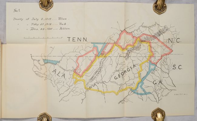
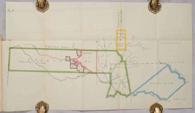
This report includes two numbered, but untitled maps that were published in the report "Moneys Due the Cherokee Nation." No. 1 consists of portions of North Carolina, Georgia, Alabama, and Tennessee. Colored boundaries and a key indicate the land involved in the treaties of 1817, 1819, and 1835. No. 2 shows the Cherokee Strip and the Cherokee Outlet in Indian Territory. Colored boundaries indicate various treaties and possessions of other tribes. Although the original report concluded that the Cherokees were due an additional $1.1 million under the various treaties, the subsequent 1900 report denies the claim. Complete with the original 32-page disbound report.
A. No. 1, (20.0 x 11.0").
B. No. 2, (22.4 x 11.8").
References:
Condition: A
Maps are clean and bright with minor color offsetting. Disbound text is very good with a hint of toning and minor foxing on the last two pages.