Subject: United States & Europe, Aviation
Period: 1949-50 (circa)
Publication:
Color: Printed Color
This lot includes a pair of souvenir route maps from American Airlines:
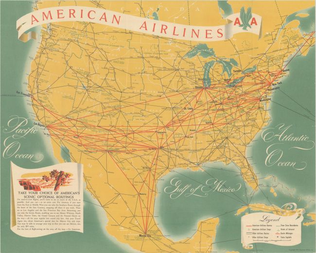
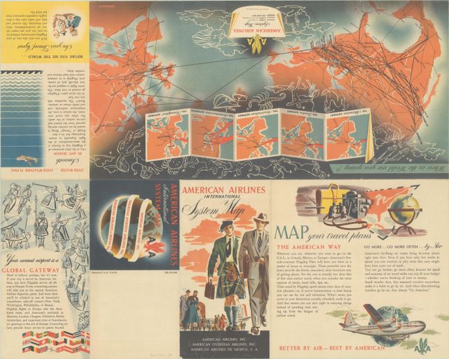
A. American Airlines International System Map, dated 1949 (20.0 x 16.0"). This map highlights the major commercial airline routes in the United States, extending to portions of Canada, Mexico, the Bahamas and Cuba. American Airlines routes are depicted by thick red lines, while other routes are noted in black. The map further notes points of interest and time zone boundaries. Text at bottom encourages readers to take the "scenic optional routings" to their destinations and "for the best of flight-seeing on the way, all the way - Go American." The verso features an additional map showing American's routes to Europe, various illustrations, and promotional text.
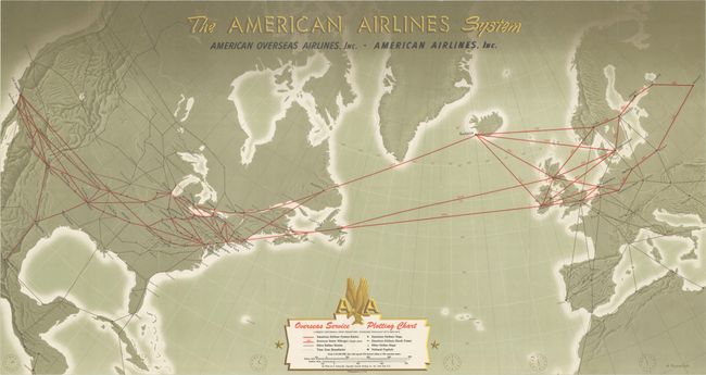
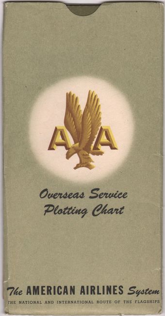
B. The American Airlines System - Overseas Service Plotting Chart, by Antonio Petruccelli, circa 1950 (32.1 x 17.1"). This map was produced on the "Lambert Conformal Conic Projection" and highlights American Airlines routes extending from North America to Europe. A legend at bottom further identifies overseas route mileages, other airline routes, time zones, and more. Blank verso. Housed in a printed paper envelope with instructions on back to "map your own trip."
References:
Condition: A
Clean and colorful. Issued folding.