Catalog Archive
Auction 206, Lot 622
Scarce Map Documenting Operations in the Philippine-American War 1900
"Map of Northern Luzon Showing a Portion of the Field of Operations of the 8th Army Corps", U.S. Corps of Engineers
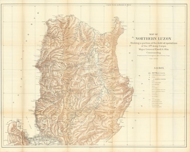
Subject: Northern Luzon, Philippines
Period: 1900 (circa)
Publication:
Color: Printed Color
Size:
42.2 x 32.8 inches
107.2 x 83.3 cm
Download High Resolution Image
(or just click on image to launch the Zoom viewer)
(or just click on image to launch the Zoom viewer)