Catalog Archive
Auction 206, Lot 564
"Carte des Pays et Principaux Lieux Connus dans les Premiers Ages du Monde", Brion de la Tour/Desnos
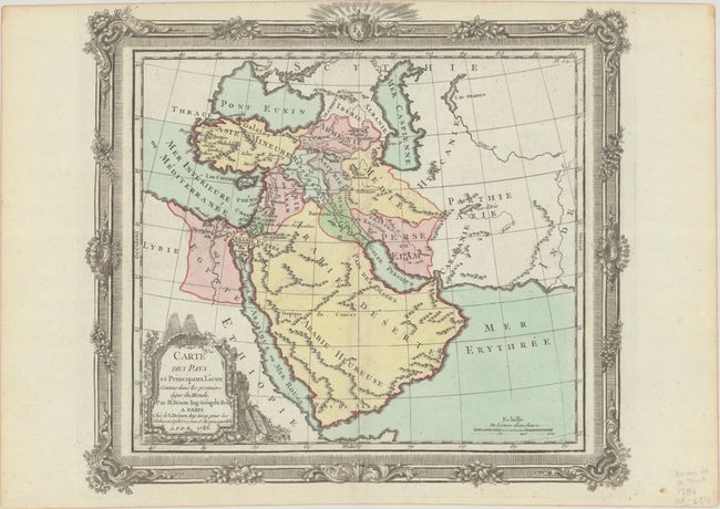
Subject: Middle East
Period: 1786 (dated)
Publication: Atlas General, Civil, Ecclesiastique et Militaire
Color: Hand Color
Size:
12.6 x 11.2 inches
32 x 28.4 cm
Download High Resolution Image
(or just click on image to launch the Zoom viewer)
(or just click on image to launch the Zoom viewer)