Catalog Archive
Auction 206, Lot 562
"Estats de l'Empire du Grand Seigneur dit Sultan et Ottomans Empereur des Turcs dans Trois Parties du Monde Scavoir, en Europe, en Asie, et en Afrique", Chiquet, Jacques
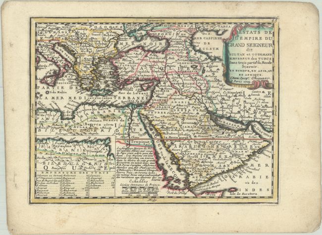
Subject: Eastern Mediterranean & Middle East
Period: 1719 (dated)
Publication: Le Nouveau et Curieux Atlas Geographique et Historique
Color: Hand Color
Size:
8.8 x 6.5 inches
22.4 x 16.5 cm
Download High Resolution Image
(or just click on image to launch the Zoom viewer)
(or just click on image to launch the Zoom viewer)