Catalog Archive
Auction 206, Lot 537
"Sclavonia, Croatia, Bosnia cum Dalmatiae Parte", Mercator/Hondius
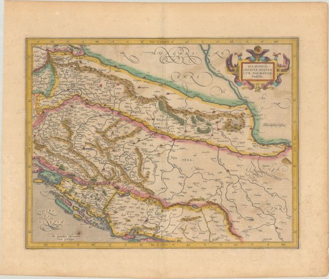
Subject: Western Balkans
Period: 1619 (published)
Publication: Gerardi Mercatoris - Atlas sive Cosmographicae
Color: Hand Color
Size:
18.4 x 14.1 inches
46.7 x 35.8 cm
Download High Resolution Image
(or just click on image to launch the Zoom viewer)
(or just click on image to launch the Zoom viewer)