Catalog Archive
Auction 206, Lot 53
"[Lot of 2] Position Respective des Peuples de la Terre [and] Suite de la Planche Precedente", Brion de la Tour/Desnos
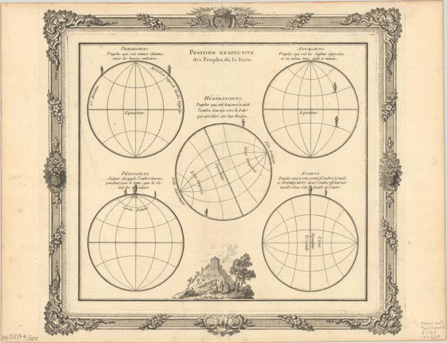
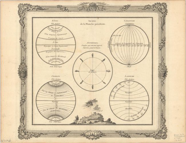
Subject: Cartographic Miscellany, Geography
Period: 1766 (published)
Publication: Atlas General, Civil et Ecclesiastique
Color: Black & White
Size:
12.1 x 11.1 inches
30.7 x 28.2 cm
Download High Resolution Image
(or just click on image to launch the Zoom viewer)
(or just click on image to launch the Zoom viewer)