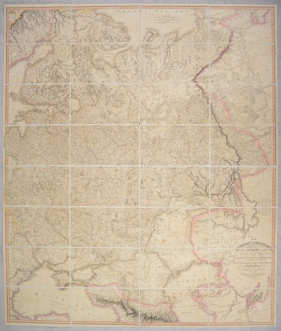
Subject: Eastern Europe, Russia
Period: 1808 (dated)
Publication:
Color: Hand Color
Size:
37.2 x 43.8 inches
94.5 x 111.3 cm
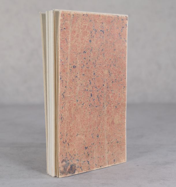
A superb, large-scale map of what was then known as White Russia. The map extends from the Black and Caspian seas north through Ukraine and Russia up to Finland, the Arctic Sea coast, and parts of Siberia. It is filled with incredible detail including the post roads, ancient ruins and interesting notations. This map was compiled by Jasper Nantiat and based upon maps of the Academy of Sciences at St. Petersburg. This is the uncommon first state published by William Faden in 1808. Later editions published by James Wyld, successor to Faden, are more commonly found on the market. Dissected and backed with linen and self-folds into stiff marbled boards.
References:
Condition: B+
Contemporary outline color with some minor offsetting and a bit of soiling. Dissected and backed with linen.