Catalog Archive
Auction 206, Lot 520

"Estats de la Couronne de Pologne", Fer, Nicolas de

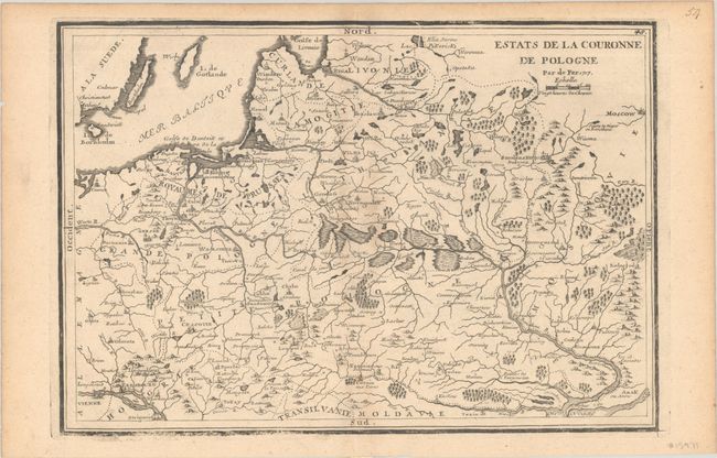
Subject: Eastern Europe, Poland

Period: 1717 (dated)

Publication: L'Atlas Curieux ou le Monde...

Color: Black & White

Size:
12.5 x 8.6 inches
31.8 x 21.8 cm
Download High Resolution Image
(or just click on image to launch the Zoom viewer)

This handsome French map covers the region between the Baltic and Moscow. It spans as far north as the Golfe de Livonia (Gulf of Riga) and as far south as the Black Sea's northern shore, centering on the marshlands of present-day Belarus. Several cities are identified, including Vienna, Gdansk, Poznan, Krakow, Warsaw, Vilnius, Riga, Leopol (Lviv), Kyiv, Hrodna, Smolensk, and Belgorod. The islands of Bornholm, Oland, and Gotland are located in the Baltic.

References: Pastoureau, FER I D.

Condition: B+

A nice impression with a hint of toning and minor abrasions along the bottom left border.

Estimate: $140 - $170

Sold for: $110

Closed on 11/12/2025

Archived