Catalog Archive
Auction 206, Lot 491
"Circuli Supe. Saxoniae Pars Meridionalis sive Ducatus, Electoratus et Principatus Ducum Saxoniae...", Homann Heirs
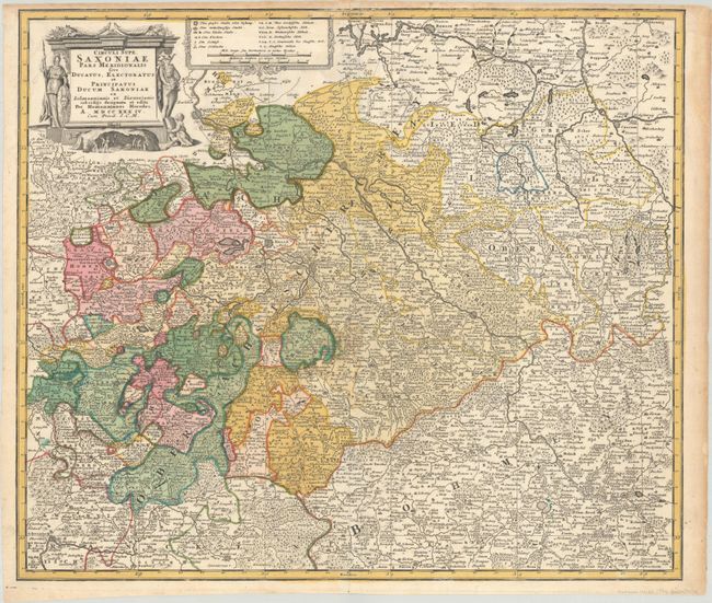
Subject: Eastern Germany & Northwestern Czech Republic
Period: 1734 (dated)
Publication:
Color: Hand Color
Size:
22.4 x 19.3 inches
56.9 x 49 cm
Download High Resolution Image
(or just click on image to launch the Zoom viewer)
(or just click on image to launch the Zoom viewer)