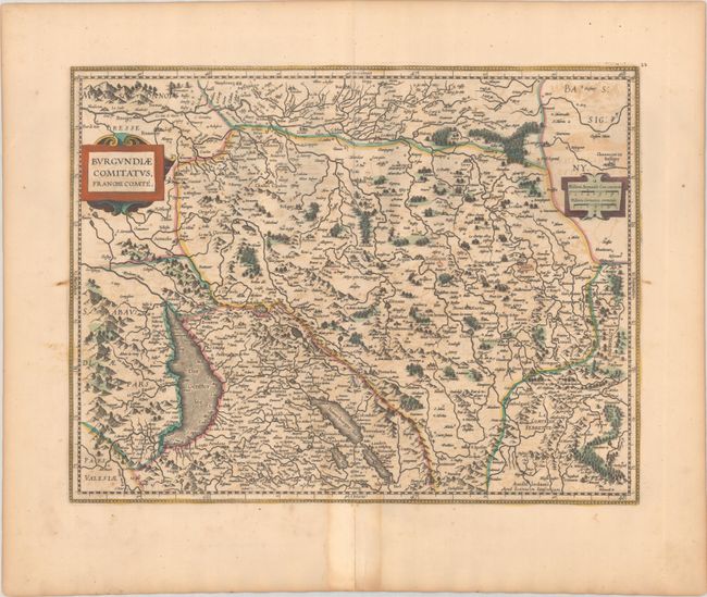
Subject: Eastern France
Period: 1630 (circa)
Publication:
Color: Hand Color
Size:
19.5 x 14.9 inches
49.5 x 37.8 cm
This handsome map focuses on Franche-Comte of Burgundy with the bordering region of Switzerland including Geneva. The map is centered on the capital Besacon and is oriented with north to the right. It is filled with graphic illustrations of the rivers, mountains, forests, fortifications, and cities. Embellished with strapwork title and scales cartouches. Blank verso.
References: Van der Krogt (Vol. I) #4880:1B.1.
Condition: B+
A crisp impression with light offsetting, minor foxing, and a few old manuscript markings in the image. A centerfold separation in the bottom blank margin has been closed on verso with old paper.