Catalog Archive
Auction 206, Lot 460

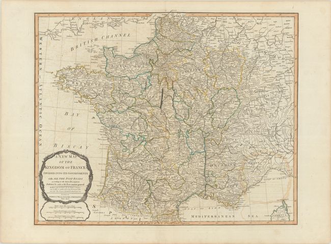
"A New Map of the Kingdom of France Divided into Its Governments with All the Post Roads According to the Latest Description...", Laurie & Whittle

Subject: France

Period: 1794 (dated)

Publication:

Color: Hand Color

Size:
22.9 x 18.8 inches
58.2 x 47.8 cm
Download High Resolution Image
(or just click on image to launch the Zoom viewer)

This beautifully engraved map portrays France as it was after the creation of the French Republic and the division of the country into departments in 1791. The map shows all the major roads and cities, and extends to show portions of Belgium, Switzerland, Germany, Italy and Corsica. Three cracks in the plate are visible around Orleans.

References:

Condition: B+

Contemporary outline color on a watermarked sheet with offsetting and marginal soiling.

Estimate: $180 - $210

Sold for: $130

Closed on 11/12/2025

Archived