Catalog Archive
Auction 206, Lot 452
"Tabula Generalis Totius Belgii qua Provinciae XVII. Infer. Germaniae olim sub S.R.I. Circulo Burgundiae...", Homann, Johann Baptist
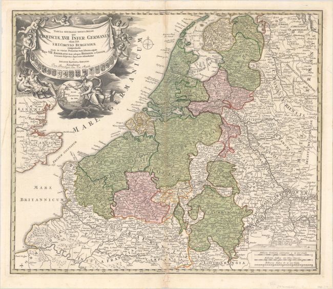
Subject: Low Countries
Period: 1720 (circa)
Publication:
Color: Hand Color
Size:
22.5 x 19.2 inches
57.2 x 48.8 cm
Download High Resolution Image
(or just click on image to launch the Zoom viewer)
(or just click on image to launch the Zoom viewer)