Subject: Wyoming
Period: 1889 (published)
Publication:
Color: Hand Color
Size:
10.3 x 7.5 inches
26.2 x 19.1 cm
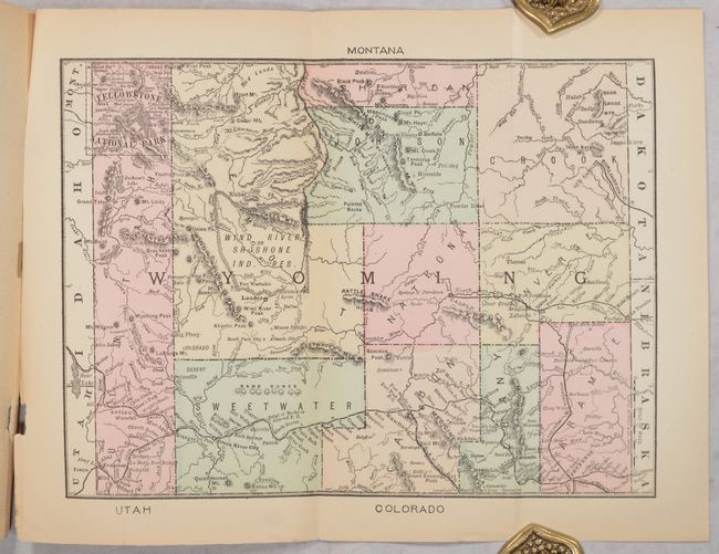
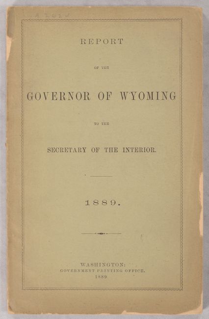
This lengthy report was intended to defend against critics of the territory’s small population and low voter turnout by describing in great detail the territory’s vast resources and potential. Enhancing the report is a small Rand McNally map of the territory at the end of the volume. The map shows only 11 counties and prominently depicts Yellowstone National Park in the northwest and the Union Pacific Railroad in the south. Francis Warren, Wyoming's territorial governor at the time, was a strong proponent of statehood and moved on his own initiative to draft a constitution, included here, that later in 1889 was ratified by the voters and by Congress the next year. Warren went on to become the state’s first governor and a long-time senator. 151 pages. Printed paper wrappers.
References: Blevins #428.
Condition: B+
Condition code is for the map, which is lightly toned. Text has light to moderate toning. Front wrapper has some small chips along the edges and the rear wrapper is detached.