Subject: Austin, Texas
Period: 1954-87 (dated)
Publication:
Color: Printed Color
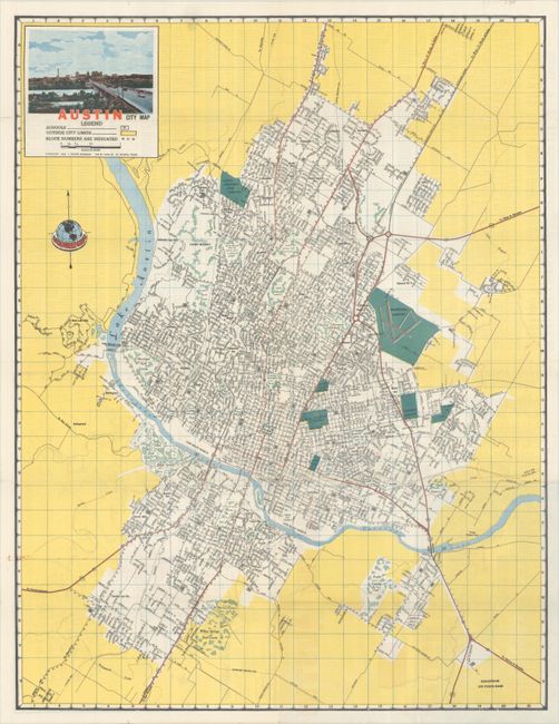
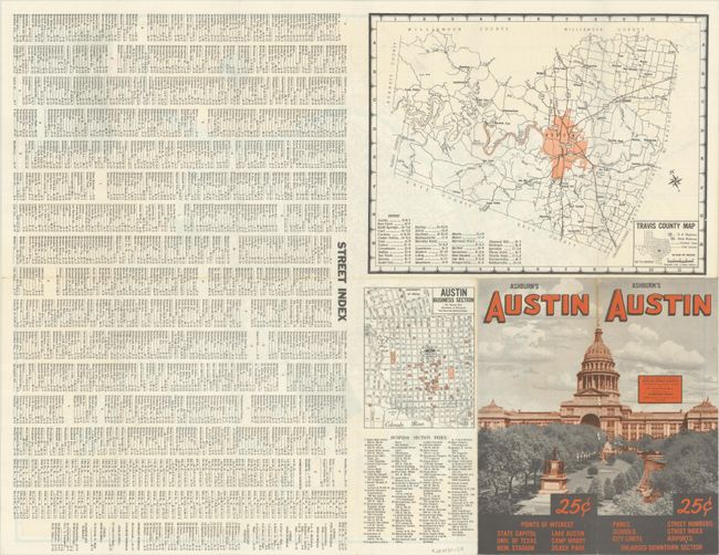
A. Austin City Map, by J. Foster Ashburn, dated 1954 (16.3 x 21.1"). A detailed street map with a legend identifying schools, city limits, and block numbers. Locates the State Capitol, University of Texas, Camp Marby, Bergstrom Air Force Base, and more. Decorated by a city view in the top left corner. Verso with map of Travis County, the business section, and a detailed street index. Austin’s population at the time was only about 145,000.
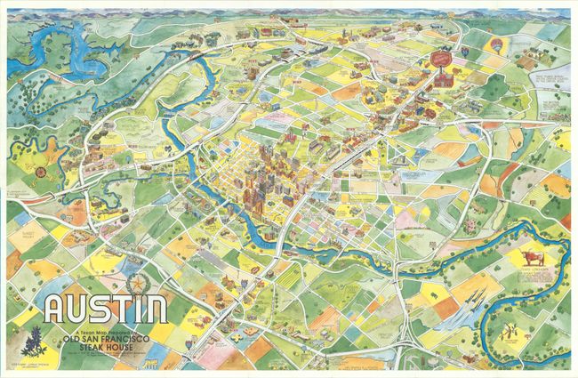
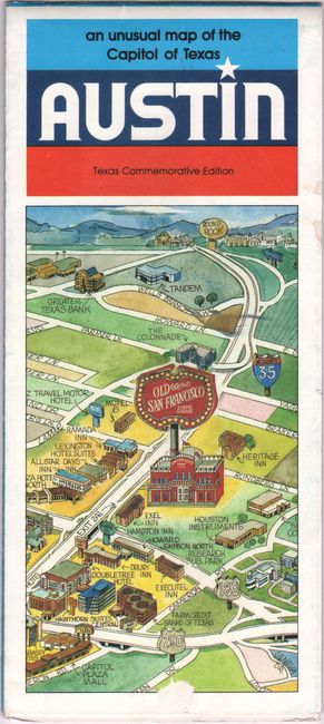
B. Austin - A Texan Map Prepared by Old San Francisco Steak House, by Merle E. Ollom, dated 1987 (28.3 x 18.2"). This colorful and profusely illustrated pictorial map is centered on downtown and extends to the surrounding communities and farmland. Numerous individual buildings are drawn and named including the state capitol, courthouse, governor's mansion, University of Texas, and a large Old San Francisco Steak House to the northwest of downtown. The verso contains text and illustrations of important sites around Austin and maps of the downtown area and broader region. By 1987 the population of Austin had tripled to 466,000.
References:
Condition: A
Clean and colorful examples, issued folding.