Subject: Nebraska
Period: 1871 (published)
Publication:
Color: Hand Color
Size:
38.4 x 28.5 inches
97.5 x 72.4 cm
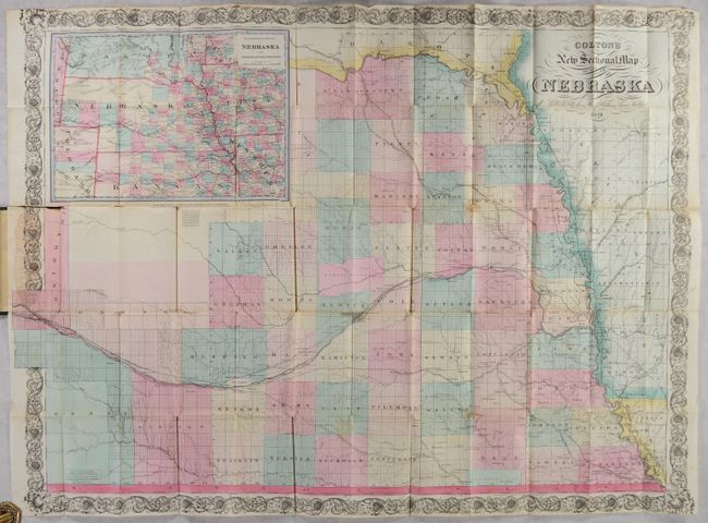
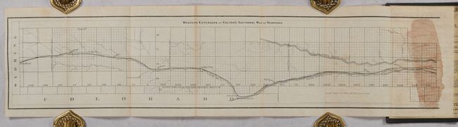
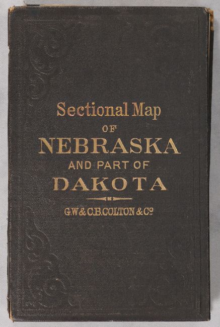
This scarce pocket map was issued only 4 years after statehood and presents county configurations current to the publication date, with the addition of Boone and Wayne counties in the northeast. The map extends west to Lincoln and Harrison counties (the eastern two-thirds of the state) with an inset map showing the entire state/region at top left. At this time, most eastern counties have been fully surveyed, excluding lands belonging to the Pawnee and Otoes Indians and the Fort Kearney Military Reserve. The map highlights the evolving railroad network including the Union Pacific, Omaha & North Western, and the Burlington & Missouri River railroads. Surrounded by a decorative scroll border. Accompanying the map is a folding sheet entitled "Western Extension of Colton's Sectional Map of Nebraska" showing the panhandle region. Folds into brown cloth boards (4.0 x 6.0") with gilt title on the front cover.
References:
Condition: B+
Full contemporary color with several short splits at the fold junctions and a 2.5" separation at left along the top edge of the covers. There is some light staining in the left border where the map attaches to the rear board. Covers have split in two along the spine and have only minor wear.