Subject: Portland, Maine
Period: 1889 (dated)
Publication:
Color: Hand Color
Size:
20.8 x 27.8 inches
52.8 x 70.6 cm
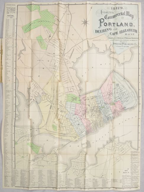
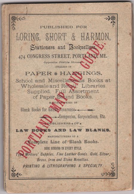
This detailed street plan of Portland, Maine and its surroundings was derived from the surveys E.C. Jordan, Civil Engineer. It was published soon after the Union Station opened in 1888; the historic station, which was torn down in 1961, is located on the map near St. John Street. The map spans from Evergreen Cemetery south to Cape Elizabeth and features excellent detail of streets, parks, cemeteries, wharves, and more. Railroads shown include the Boston and Maine, the Maine Central, the Grand Trunk, and the Portland and Rochester. A street index wraps around the map. The map appears in the back of a 78-page booklet, Indexed Commercial Map and Guide of Portland, ME., published by the American Publishing Company for Loring, Short & Harmon, Stationers and Booksellers.
References:
Condition: B+
The folding map is clean and bright with several short fold separations at the junctions. Paper covers have light foxing.